Lowest to Highest Route Day 0.
A few weeks ago Carrot Quinn asked on her insta story if anyone wanted to hike the Lowest to Highest Route with her. I had been planning on doing it this year but my regular hiking partner wasn’t able to make it. Routes are fun but real sketchy, especially ones across Death Valley, and I didn’t want to try this one alone so when I saw Carrot’s story, I immediately messaged her about it.
A few weeks of planning later, Carrot, another hiker named Laurie, and I are driving across the moon-lit Mojave Desert to the base of the Eastern Sierras. After grabbing snacks and a lil Carl’s Jr, we drive deep into the Alabama Hills where we end up getting stuck in a wash that is actually cozy. It’s already cold and I end up sleeping on the floor of Carrot’s van like a big husky.

L2H Day 1. 10 miles.
We wake up to a beautiful sunrise that illuminates the Sierra, including Mt Whitney. I have the east face of Mt Whitney tattooed on my forearm so I see it everyday but it pales in comparison to actually seeing it beaming in the distance.
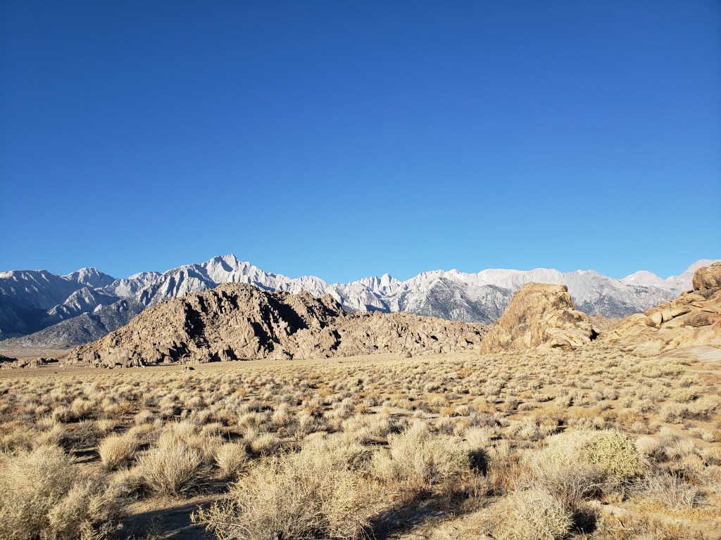
We have breakfast in our sandy little ditch and watch the not that far away Sierra light up in the morning twilight. A very stoked camp dad helps us get out of the wash and back onto the dirt road.
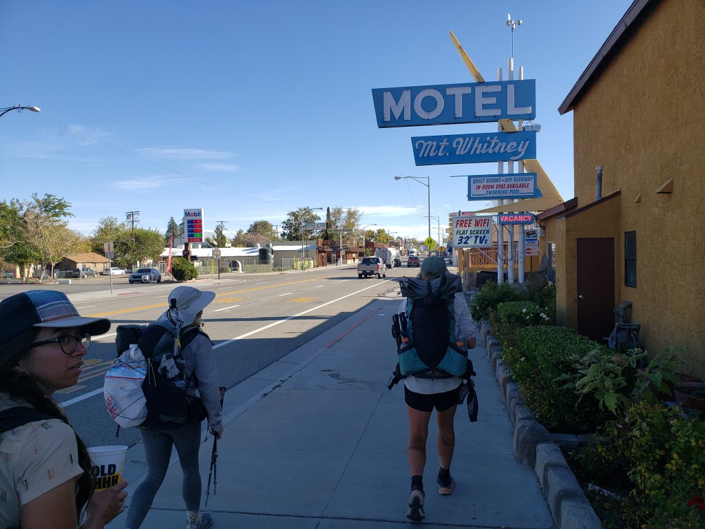
After breakfast and resupply, we meet up with another hike named Pilar and make our way to Death Valley, stopping along the way to drop off some vital water caches and resupplies we’ll need.
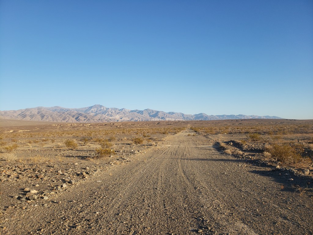
We get a ride from Furnace Creek to Badwater Basin with some very lost Hayduke hikers. After taking the requisite lowest point in the western hemisphere sign pictures, we set off into the salt flats, never to be seen again.

The first few miles are some of the coolest miles I’ve ever hiked. The salt flats are not flat but they are indeed salty. We are as close to the molten heart of the Earth as we can be on land.
The sun sets over the Whites (the mountains, not my hiking companions), and we hike in the dark over what we term the chonky earth. The most majestic full moon bursts out behind us and lights our way as we howl across the miles of salt flats.

Day 2. 15 miles.
You ever just like have one of the hardest days of hiking you’ve ever had?
We set an early alarm and Carrot leads us in a rousing rendition of Eye of the Tiger. The first five miles of the day are a chill uphill climb up Hanauhpah Canyon to a possibly contaminated spring? The next five miles after are a not at all chill climb to a trail at almost 10,000 feet.
There is a steep steep steep climb up to a ridge we ride up and down and up and down until the base of the peak. Halfway through I start to feel winded and realize that oh yeah, we’ve climbed to 6000+ feet, there’s less oxygen up here. That realization doesn’t make the climb any easier. Neither does the 8 liters of water we’re carrying.
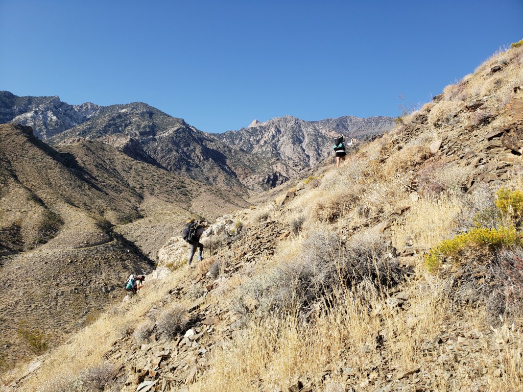
It takes us 8 hours to go the 5 miles from the spring to the top of the climb. In total, we climb over 9000 feet in 10 miles, 2000 in the last mile alone, which, if you think about it, is ridiculous.
The descent down is hard in a whole new way. The exhaustion of the climb coupled with the steepness and sketchiness of the dark scree descent kills my mood. Falling on my ass six times also doesn’t help. We finally make it down into where the canyon opens up and a little cold spot to cowboy up.
Day 3. 25 miles.
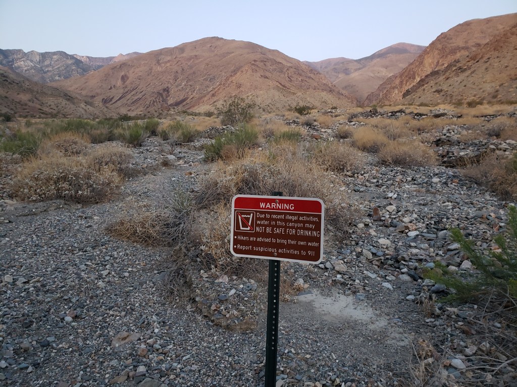
We wake up early again, this time to the soothing sounds of Papa Roach’s timeless classic, Last Resort. We descend down the canyon a few miles to a woodsy area where we play find the water. I literally crawl into a magical forest cave where a beautiful spring is flowing.

After grabbing another 8 liters from the spring, we follow some burro trails down the canyon. It turns out burros are actually very ingenious and capable of incredible feats of trail infrastructure.
At a rusted out impala, we have a little impromptu desert hiker trash photo shoot. #hikertrashvogue desert rats edition. I strip down to my fancy hiking underwear and bright silver sun umbrella. I feel too hot, both literally and metaphorically, to have the usual vitiligo body image stuff creep in, which is nice.

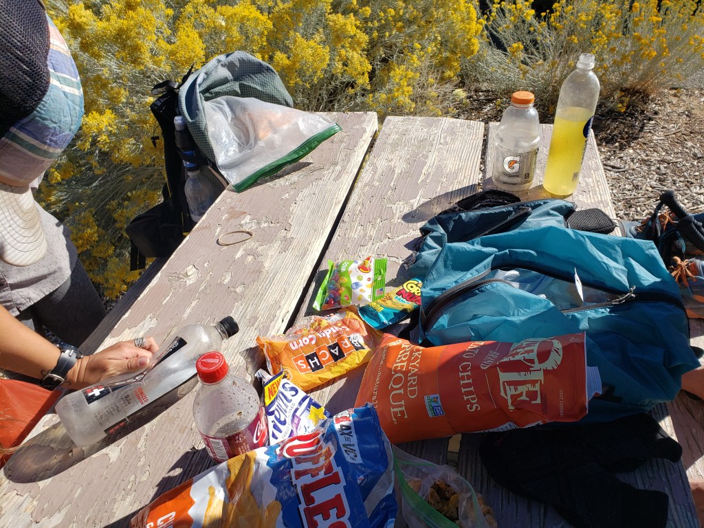
We have to walk across exposed dirt roads for a while and even though it’s mid October, it’s still over 90 degrees. We find a magnificent shady dusty ditch to crawl into and die and wait out the heat of the day.

After it cools down enough to not melt, we keep hiking between the Whites and the Inyos across dirt roads. We’re treated to another one of those desert sunsets and every single star on the sky blooms above us. We hike across the Panamint Playa in the dark, guided only by the stars and the moon and thoughts off food and places to sit.
We end up back on a highway and race the last mile to the Panamint Resort where we left a resupply. In one of the most triumphant moments of my life, we make it there 5 minutes before it closes.
Day 4. 0 miles.
We’re all beat tf up from the past few days so we decide to take a rest day. We spend the morning eating the all you can eat toast and coffee buffet and then take a group nap which is very cute.
We left one car at Furnace Creek near the start of our hike and since we have time we decide to go get it and bring it to Panamint so we don’t have to drive as far at the end. We get a hitch (eventually) back to the Stovepipe Wells and then to Furnace Creek with a ranger. She tells that it routinely gets the hundreds here in one of the hottest place on earth and that some of her co-workers still bike to work.

We find Pilar’s car safe and sounds and pick up even more snacks at the other overpriced general store. We drive back across the windy sandy hot road to Panamint blasting My Chemical Romance across Death Valley.

While Laurie and Pilar have dinner, Carrot and I sit in our cots in the dark and start talking about why we hike. Eventually we start talking about our childhoods, about our trauma and hurt and anger and grief and how hiking helps us deal with it all.
Day 5. 21 miles.
We wake up to a beautiful desert sunrise, you know the deal by now. Quick road walk to a dirt road that eventually leads us into Darwin Canyon and some pretty waterfalls. It’s a trip to be in the middle of Death Valley and be surrounded by green trees and hear rushing water.

After a quickie breakfast break, we set off on the climbing portion of our adventure: a class-3 scramble up the side of a few waterfalls. It’s pretty dicey but fun scrambling and low-key bouldering.

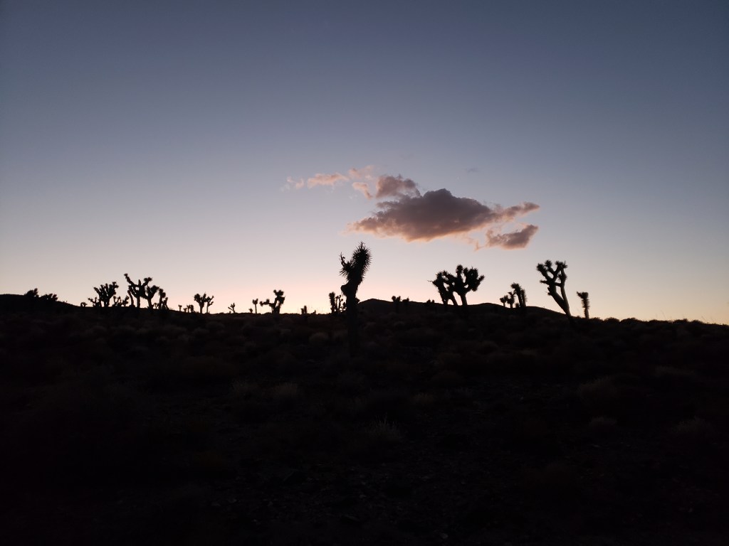
We finally top out and reach China Garden, another desert oasis complete with little fish friends. After lunch, we make our way fully out of Darwin Canyon and onto a plateau of beautiful Joshua Trees. It’s so hot and we have to hike across miles of exposed cross country but it’s also pretty and relatively easy hiking.

We reach our first water cache on a road and find that an animal has gotten to one of them so we have one less gallon than we planned. Our next cache is 8 miles further up the dirt road and we spend the evening hiking to it. Not far from the cache we see lightning flashes in the distance. Thankfully the clouds dissipate quickly and all we have to worry about is the cold wind that is blowing through the exposed desert land.
Day 6. 23 miles.
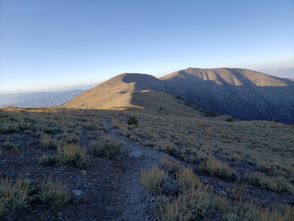
All night we heard burros braying around us, bestowing on us their burro blessings. It’s a steady uphill climb to Cerro Gordo peak and the crest of the Inyos. Compared to the past big climb, this one’s not bad though. We mostly go up old jeep/4wd roads until we reach an old mining site where we lunch.

We reach the top of the Inyos and look out at the Owen’s Valley below. Beyond that we get our first views of the Sierra. They’re so big and beautiful and intimidating and we can’t wait to struggle our way up them.

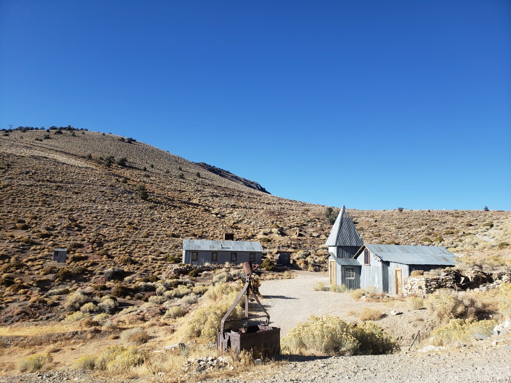
We hike down to an old ghost town where we arranged to get some water. It’s super weird and old timey and the caretaker is a cool old hermit dude who lives there year round. After checking our the antiques store and hotel, we set off again.
We hop onto some cold exposed ridges and hike on a steep slope past some mining caves ruins. The temperature is supposed to get down below freezing and there’s few spots to camp. We night hike a bit in order to make it to a cabin that ends up being very protected and warm. We have dinner on a nice deck overlooking Lone Pine and sleep peacefully next to hantavirus-covered mouse poop.

Day 7. 17 miles.
The cabin kept us warm all night and we were able to get a good night’s sleep which is good because the way down to Lone Pine is unsurprisingly hard.
We play around an old rickety wooden tram structure that once upon a time was used to transport salt from one side of the Inyos to the other. It’s very cool.

The descent down the canyon is steep scree skiing which I normally hate but I’m feeling surprisingly good so I just let myself fall down it. We end up back onto some good old 4wd dirt roads and start to veg out on the easy but hot miles to town.
Not far from Lone Pine I get service and decide to check the Whitney permits again. This year the permitting system changed and the parks service no longer does walk ups. To be honest, we had pretty much resigned ourselves to not being able to get permits. For weeks we’d been checking the permit page with no luck. We made plans to hike another 14er nearby instead as our highest point. On a whim I decided to check again and lo and behold four beautiful golden permits were available. Yeeeeehaaaaw.

Knowing we’ll be able to summit Whitney perks us up and we cross the long dirt and paved roads back to Lone Pine. We walk straight into the Carl’s Jr we’ve been talking about for days and order all the food (Beyond Burger #2 for me).
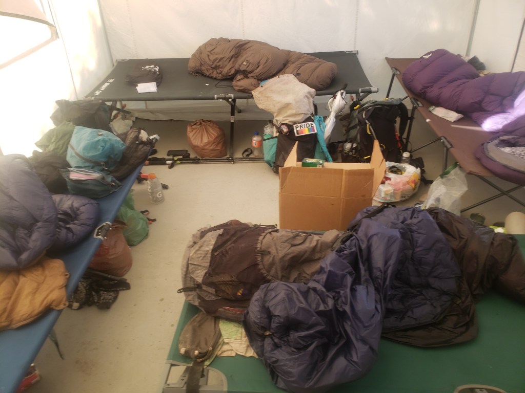
Because our permits are for the next day, we won’t have time to do section from Lone Pine to Whitney Portal so we decide to skip it and go back for it the following day. We pick up permits/wag bags and more snacks and shower and do laundry and drive back to the Alabama Hills to get a good night’s rest in preparation for the long day ahead. We don’t get stuck in a ditch this time.
Day 8.
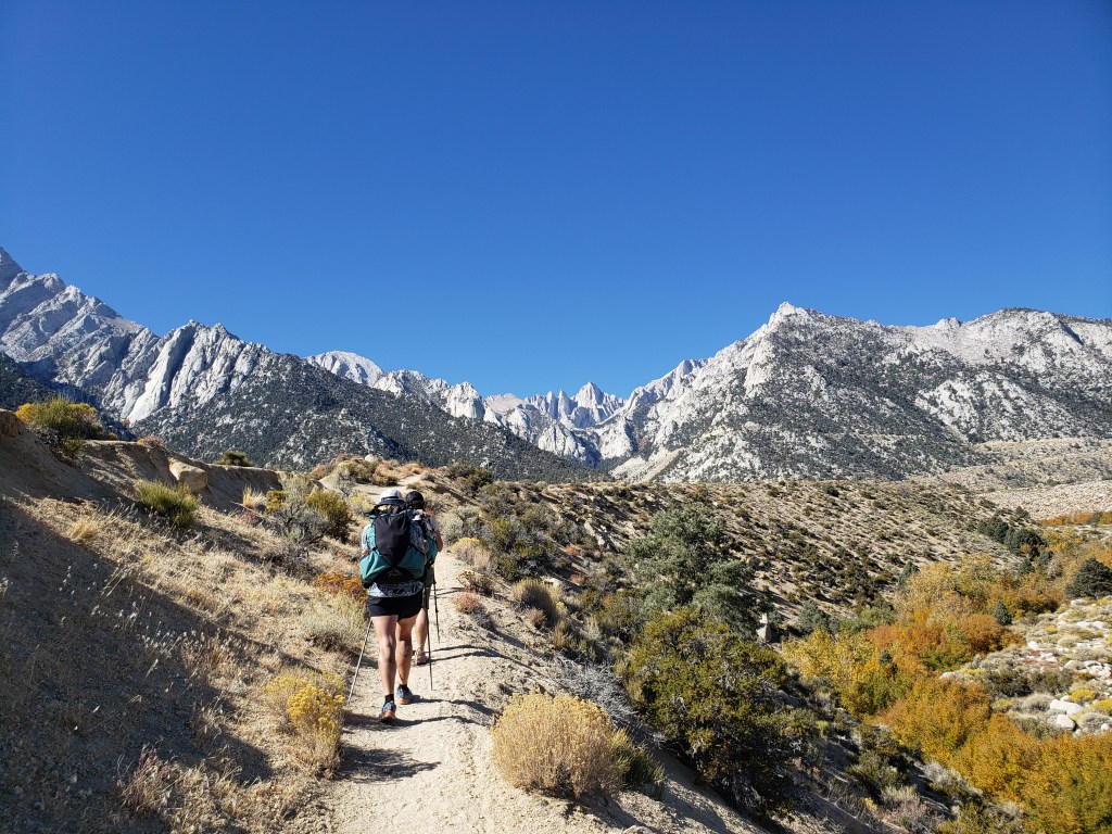
We wake up at 4am, quickly pack up our stuff and drive up to Whitney Portal. It’s dark and cold but we warm up on the switchbacks up to the first few lakes. If you’ve never been up the east side of Whitney, it’s hard to describe how beautiful it is. Whitney is perfectly situated over a giant valley and when you look back you have an incredible view towards Lone Pine and the Inyos behind it.

The climb up towards Whitney is hard as you would imagine a hike up to the highest point in the contiguous United States would be but also easier than we expected. Well-graded stock trails are so easy compared to some of the 45 degree cross country slopes we’ve had to climb up. It is gorgeous hiking though. After days of crossing desert it’s such a stark difference hiking through the fall Sierra forests, alpine lakes, and frozen waterfalls.

The final climb up to trail crest on the dreaded 99 switchbacks is actually not that bad. Apparently the best way to acclimate to altitude is to start at 282 ft below sea level then hike up to 10k then back down. Twice.

The final ridge walk is also not bad though I do start to get a little lightheaded especially when I try to flex on the day hikers by rushing past them. From the ridge I can see Guitar Lake below and the PCT and JMT past it. 3 years ago I hiked on this same ridge in the dark to watch the most beautiful sunrise I’ve ever seen and it feels so good to be back.

We finally make the summit and take the requisite highest point in the contiguous United States pictures. After huddling in the cabin and having lunch, we start to make our way back down. I do end up going back to the summit to spend some more time there and reflect on what it means to be there but that’s its own post.

On the way down from Mt Whitney, Pilar and I decide to try to summit another nearby 14er, Mt Muir. There’s a use trail most of the way up but that’d be too easy (and also we missed it) so we end up scrambling up a rock chute then traversing a ledge around to the summit block. The last few hundred feet end up being sketchy class-3/4 climbing with a few low-grade bouldering moves. The downclimb is even more adventurous. Overall it’s a lot of type-2 fun and we ended up summiting and not falling to our deaths so that’s pretty rad. 2 Californian 14ers down, 13 to go.

Hopped up on adrenaline and endorphins from summiting 2 14ers we race down the trail back towards Whitney Portal. We count 97 switchbacks on the way down to trail camp which is a total ripoff since there’s supposed to be 99 of them. There’s also a lake on the way down I decide not to jump into since it’s still kinda frozen.

We descend back down the way we came to Whitney Portal, crossing the cold lakes and fall colored trees, and making it down right after sunset. We celebrate our summit and descent by immediately driving straight to the overpriced weird Chinese food place in an old merry go round and eating all the food.

Day 9. 11 miles. Last day.
Since we skipped the 11 miles between Lone Pine and Whitney Portal, we have to walk them today in order to keep our continuous footpath. I don’t know why we’re like this either.

This section weirdly enough ends up being one of my favorite areas along the whole L2H route. The road walk is pretty gradual and not too dangerous with minimal car traffic. Plus we get to go past the Alabama Hills again and watch Mt Whitney shining above us most of the day. We cruise through the road part pretty quickly and end up a little campground where we have our last snack break/hiker trash potluck.
There’s a beautiful desert ridge walk that slowly turns into Sierra forest with an explosion of yellows and oranges. It’s really fun pretty trail hiking that follows a rushing creek all the way up to where we left a car. We’re slackpacking and don’t have to carry 8 liters of water across the literal hottest place on Earth so it’s the absolutely easiest day of hiking ever and I start to understand why people day hike instead of thru hike.
Before reaching where we left our footsteps the day before, we decide to do one last cross country push for old time’s sake. We take off our shoes and wade through a cold cold creek and it feels amazing after days of hot hiking. It is kinda sad to be finishing and we start to wish this last trail section went on just a little longer.
Our terminus is the trunk of Pilar’s car where we reconnect our footpath and officially finish our Lowest to Highest Route hike.

Post Script: we end up going back to Carl’s Jr for celebration burgers and fries. I’ve eaten Carl’s Jr 4 times in my life, 3 of which was on this trip, and I’ll never eat there again. Unless @beyondmeat wants to sponsor me.
